Kim Gardner, fifth grade teacher at Upland Terrace Elementary, and Kacie O’Maley, school technology specialist, were featured in the most recent episode of UEN’s PDTV web video series. The episode focuses on the innovative ways their students are exploring and creating worlds in Minecraft EDU to engage in social studies core curriculum and showcase their learning. Watch it below!
Social Studies Resources
Featured Resource: The National Archives
Post Author: Jessica Moody, Library Media Educational Technology Specialist, Olympus Jr. High School
The National Archives Educator Resources page is a great resource for K-12 teachers.
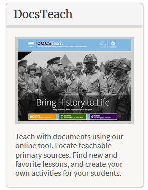 DocsTeach is a repository of lesson plans, graphic organizers, and Primary Sources Documents focusing on American History. You can browse or search by time period, topic, activity type, or grade level. The graphic organizers are simple and fun. The Interpreting Data exercises are a great way to link History, Analysis, and even some math skills such as reading graphs and charts. All DocsTeach lessons align with Bloom’s taxonomy and the National History Standards. Follow @DocsTeach on Twitter to see highlights of new additions and interesting documents from the National Archives that relate to the National History Standards.
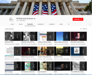
Be sure to subscribe to the US National Archives YouTube Channel for a variety of videos and professional development. If you look at their Playlists, their videos are organized by topics and interests. You can even find professional development for teachers. Be sure to use the search option on their channel page to search for specific videos for your next lesson. In their Uploads stream you can see a few of their upcoming live streams that will be posted soon. The Illusions of Emancipation will be posting on February 27th, 2019. This video will deal with the slow process of ending slavery in America.
 The National Archives also feature apps, ebooks, warm up activities, and political cartoons to assist you. This is a great place to find bell ringers and more in-depth lessons. The eBooks are free and are in PDF format so that they are easily accessible.
The Online Exhibits are a great way to host a virtual field trip. There are many topics including Art History, History, World Geography, Science & Technology, and even When Nixon Met Elvis.
Of course, there is much more to be found. What will you find?
Teacher Spotlight: Shelly Prettyman, Arcadia Elementary
Shelly Prettyman is a 5th Grade Teacher at Arcadia Elementary.
Shelly went through Granite’s Educational Technology Endorsement Program (ETEP), learning many ways to integrate technology into her lessons.
Students in Ms. Prettyman’s class have had opportunities to learn coding and work on digital projects using a variety of web tools.
She also mentors students in a FIRST Lego League team and goes to a district competition with them each year.
Ms. Prettyman has the support of her School Technology Specialist, Ross Pope, as she plans and carries out lessons enhanced with the use of technology.
In this video, Ms. Prettyman’s 5th Grade students were working on their Colonial Projects.
Shelly and Ross worked together, as students learned how to use some new web tools (Google Slides and PowToon) while creating projects around their colonial studies.
Spotlight Author: Teresa Bruin, Granite District Educational Technology Specialist
Featured Resource: Google My Maps
Google My Maps is a map creation and publishing tool integrated into Google Drive. Users can create, share, publish, and collaborate on custom maps, as well as save maps in their Google Drive as they would any other type of Google Doc.
The mapping tool allows students or teachers to:
- Create custom placemarks at any location in the world
- Associate web links, images, and other information with any placemark created on the map
- Draw lines and shapes that automatically measure distance and calculate area
- Import spreadsheets of geographic data (place names, addresses, or latitude-longitude coordinates) to instantly populate a map with placemarks and additional data
- Add multiple layers of information that can each be separately styled and toggled on or off
- Choose from various base map views, including terrain, satellite, city roads, and political
- Keep a map private, or collaborate on a map with others in real time, as with other types of Google Docs
- Embed custom maps on a web page, share via a permanent link, print, or export as a KML file
Featured Resource: Smithsonian Learning Lab
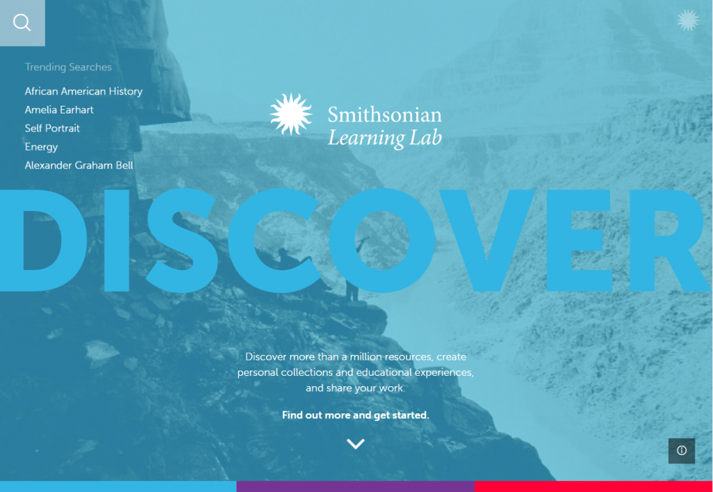
The Smithsonian Learning Lab (https://learninglab.si.edu/) is a new visual search and curation tool that makes it simple for students and teachers to explore the vast digital collections and resources of the museums and research centers of the Smithsonian Institute. [Read more…] about Featured Resource: Smithsonian Learning Lab
Featured Resource: WolframAlpha
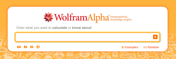
WolframAlpha is a self-described “computational knowledge engine,” an extensive database of knowledge and a powerful calculator in one. It differs from a search engine such as Google in that it does not search the web for answers, rather it computes answers to questions and queries utilizing its own algorithms and a curated collection of peer-reviewed data sources.
Want to see what WolframAlpha can do with different queries? [Read more…] about Featured Resource: WolframAlpha
Featured Resource: Gale Virtual Reference Collection
The Gale Virtual Reference Collection is now available to all K-12 students and teachers in the state of Utah as part of Utah’s Pioneer Online Library.
[Read more…] about Featured Resource: Gale Virtual Reference Collection


You must be logged in to post a comment.